DJI Neo 2 Maximum Altitude: What 2,000 m Means and the Real Limit

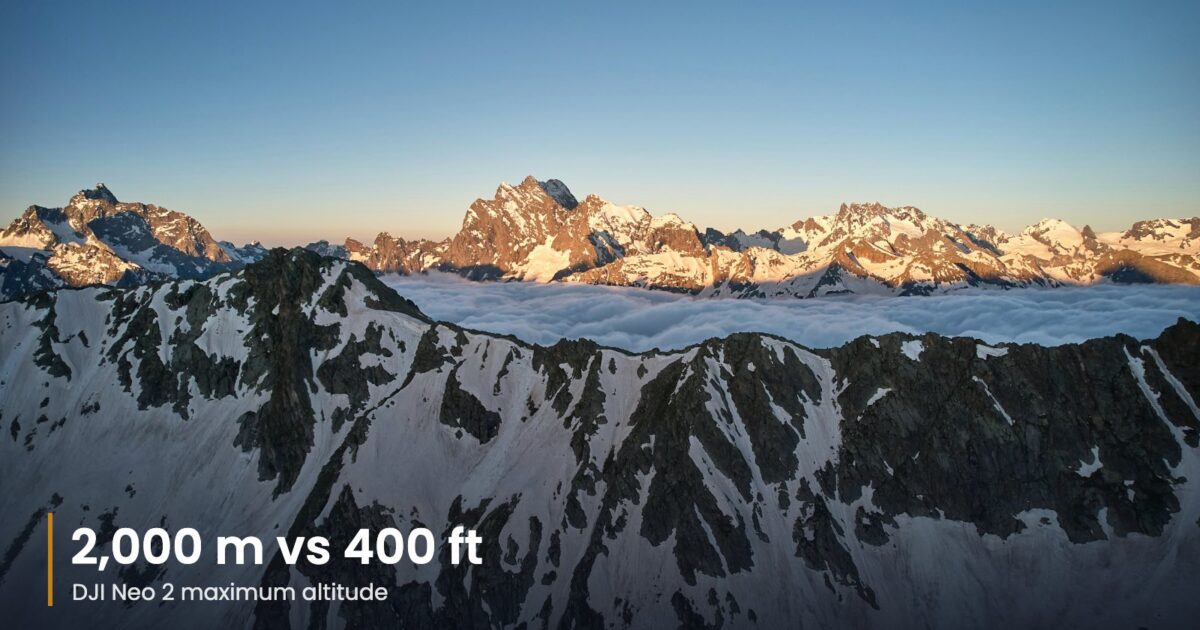
The DJI Neo 2 maximum altitude on the spec sheet is 2,000 m, and it is the most misread number DJI publishes for this drone. It is not how high the Neo 2 can climb. It is the highest elevation above sea level that DJI rates the drone to take off from.
In practice the limit you hit first is the law: 400 ft above the ground in most US airspace, 120 m from the surface under EU and UK open-category rules. The hardware figure only matters if you launch from a mountain.
| Number | Figure | What it means |
|---|---|---|
| Max takeoff altitude | 2,000 m (6,562 ft) | Highest rated launch elevation above sea level |
| US recreational ceiling | 400 ft AGL | Measured from the ground, Class G airspace |
| EU/UK open category | 120 m | Measured from the closest point of the surface |
| Max flight distance | 7 km | Endurance in a test flight, not a legal range |
| O4 transmission | 10 km FCC / 6 km CE | Radio test range with the optional transceiver |
Table of Contents
What the DJI Neo 2 maximum altitude rating measures
DJI’s official Neo 2 specifications explain the figure in a footnote: the drone took off at 2,000 m above sea level and climbed 120 m in Sport mode, running the battery from 100% to 20%. That is a test of whether a 151 g drone can still fly properly in thin air, not a ceiling you can dial in.
Think of a ski resort at 1,800 m. A Neo 2 sitting on the snow is already at 1,800 m, even though it is a few centimeters off the ground. Fly it 100 m up and it is at 1,900 m above sea level but only 100 m above the slope, which is the number regulators care about.
Above 2,000 m, the air is thin enough that the small propellers lose lift. The drone has to work harder to hover, brake and hold position in wind, and DJI does not promise normal behavior there.
The legal DJI Neo 2 maximum altitude in the US
The FAA recreational rules cap flights at 400 ft in Class G airspace. In controlled airspace you need authorization first, usually through LAANC, and that authorization can set a lower ceiling. Part 107 pilots work to the same general 400 ft limit, with an exception for flights near tall structures that recreational flyers should not borrow.
For most US pilots, then, the DJI Neo 2 maximum altitude is 400 ft. The Neo 2 weighs about 151 g, or around 160 g with the digital transceiver fitted. Under 250 g, a recreational flyer can skip FAA registration, but the 400 ft limit, airspace rules, the TRUST certificate and visual line of sight all still apply. Our registration checker covers what each country requires.
The height limit in DJI Fly is a setting you choose. It does not grant permission, and an app that lets you set 500 m does not mean you may fly there.
Europe and the UK: 120 m from the surface
Under EASA open-category rules, the normal maximum is 120 m from the closest point of the Earth’s surface. That follows the terrain, so flying off a cliff edge does not give you extra height to play with. In Europe, the practical DJI Neo 2 maximum altitude is 120 m.
The Neo 2 carries a C0 class mark in the EU and can fly in subcategory A1, but not over crowds. Because it has a camera, operator registration is normally required even under 250 g. Local geographic zones around airports, military sites and nature reserves can set lower limits or ban flights outright.
Flying the Neo 2 from high ground
Mountain flying is where the DJI Neo 2 maximum altitude rating comes into play, and where small drones get lost. Thin air, cold batteries and gusts around ridges all stack up. A few habits help:
- Launch with a full, warm battery and land with far more than 20% left.
- Set a return-to-home height that clears the terrain between you and the drone.
- Do not climb straight into strong wind; the Neo 2 has little power in reserve.
- Turn back early if the drone drifts or cannot hold position.
The test behind the DJI Neo 2 maximum altitude figure ended at 20% battery. That was a lab benchmark, not a landing target. If you regularly launch above 2,000 m, choose a drone rated for it: the DJI Avata 2 is rated for takeoff up to 5,000 m, though it is a far heavier FPV drone.
How to check your launch elevation
Before a mountain flight, look up the elevation of your launch point. Most map apps show it when you drop a pin, and hiking apps and topographic maps list it for summits and trailheads. If the figure is close to the DJI Neo 2 maximum altitude of 2,000 m, expect the Neo 2 to feel sluggish on climbs and slower to stop, and keep flights short.
DJI Fly shows height relative to the takeoff point, not elevation above sea level. So the altitude readout on your phone will say 0 m at launch even on a high pass. That readout is the one to compare with the 400 ft or 120 m limit, as long as the ground under the drone stays roughly level.
Range is not altitude either
DJI quotes up to 10 km (FCC) or 6 km (CE) of O4 video transmission when the Neo 2 uses its optional transceiver and a compatible controller, and much less over phone Wi-Fi. Neither number changes the DJI Neo 2 maximum altitude, and neither allows flying out of sight. Most rules still require visual line of sight, which for a drone this small is a few hundred meters at best.
How the Neo 2 compares
The DJI Neo 2 maximum altitude is rarely the reason to choose one small DJI drone over another. If you are deciding between generations, our Neo 2 vs Neo comparison explains why the newer model’s sensing and gimbal matter more. For a self-flying camera from a different maker, see HOVERAir VERSA vs DJI Neo 2, and for the full spec sheet, our DJI Neo 2 specs analysis.
Bottom line
Read the DJI Neo 2 maximum altitude as “can take off from up to 2,000 m above sea level”. Once airborne, your real ceiling is 400 ft in the US or 120 m in Europe, lower near airports, and lower still if wind, cold or a tired battery say so.
Last checked: October 21, 2026. Specifications are DJI’s published figures; altitude rules are summarized from FAA and EASA guidance and can vary by country and airspace.
The Friday Brief
One email a week on what changed in drones
FCC and FAA rule changes, DJI leaks checked against filings, and the week’s new comparisons. Every Friday, nothing else.
Free. Unsubscribe in one click. Sent with Kit; see our privacy policy.
Follow us on Google too: add Drone Ranker as a preferred source →
Continue Reading
All News